
From Pikachu to Predator Drones: Are Your Pokémon Go Scans Being Weaponized?

Toggle Dark Mode
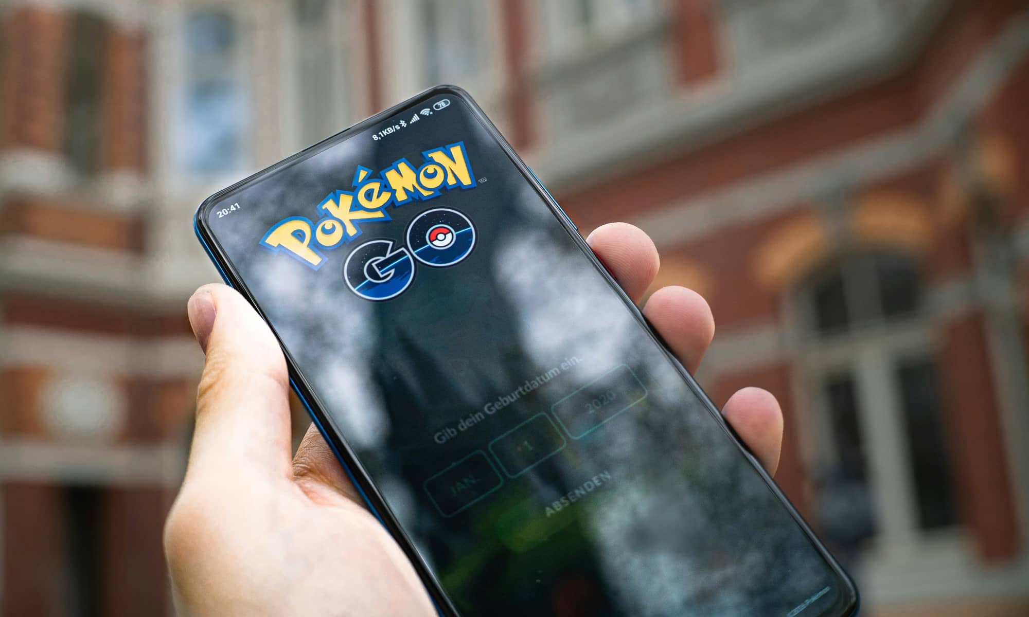
Since 2021, hundreds of millions of Pokémon Go players have unknowingly been gathering information used to train navigation technology that will be used in military drones and robots, according to DroneXL.
For years, Pokémon Go players have filmed the environment around them — including buildings, parks, streets, and other features — to earn in-game rewards. Game developers Niantic Spatial now owns those approximately 30 billion environmental scans and is now helping to train a camera-based navigational model that will be used by a US defense contractor to train drones and robots.

Here’s how it works: As Pokémon Go players scanned the physical world around them, Niantic Spatial created a 3D map from those scans that can be used by a mecho-weapon to locate itself by sight when it loses its satellite signal. The company now has a contract with defense and intelligence firm Vantor to use the ground-level system.
While all of the above is likely perfectly legal, thanks to the Terms and Conditions Pokémon Go players agreed to the first time they opened the game, it’s also likely that many of the players would have deleted the game from their iPhone or Android device if they’d known what the scans would be used for.
A huge aspect of Pokémon Go is encouraging players to record short videos of real-world locations, called Pokéstops, to earn extra in-game items. While performing a scan of the area around players in a 360-degree sweep was optional, and Niantic asked separately for permission to hold onto the footage, players who agreed to those extra terms handed Niantic a transferrable license that allowed the company to resell those scans to other parties.
Some players even scanned personal areas, like Floris De Hingh, a 34-year-old Dutch player who had played the game from its first available day in 2016. “I was just playing a game,” said the player, who had even scanned the inside of his own apartment.
Niantic Spatial’s partnership with Vantor allows that company’s Raptor software, launched in February 2025, to use an onboard camera and the developer’s proprietary 3D terrain data to share coordinates in real time between an overhead drone and a vehicle or ground operator, when no satellite link is available.
In the press release announcing the deal with Spatial, Vantor said, “unavailability, spoofing, interference, and jamming” of GPS is a vulnerability and mentions drones, vehicles, augmented reality glasses, and other devices as using the shared system. Field testing of the integrated system was scheduled to begin in early 2026.
Vantor — rebranded from Maxar Intelligence on October 1, 2025 — is a major contractor to the National Geospatial-Intelligence Agency, receiving an award worth $70 million under the agency’s Global Enhanced GEOINT Delivery program. That program serves over 400,000 US government users.
While Vantor has stated it would not use the data gathered by the game’s users, it would not say whether the model it plans to use had been trained using those scans in the past. Meanwhile, Niantic Spatial said the scans were used to train an “early version” of its navigation model. As for its defense partnership with Vantor, the company said it had no new information to share.
“Without the huge number of scans from all those gamers, the development of this system would never have progressed so quickly,” said Jeroen van den Hoven, a professor of ethics and technology at TU Delft, in a statement to Dutch independent news agency Trouw, which was one of the first publications to report on the arrangement. Van den Hoven added that since AI models use a dataset as a starting point, then collecting loads of additional data, the original contributions are tough to identify in the final model.
From the CIA to Saudi Arabia: The Twisted History of Your Map Data
As is often true in cases like this, the CIA is involved. Niantic spun off from Keyhole, a geographic data firm that took funding in 2003 from In-Q-Tel, the venture arm financed by the CIA. Keyhole’s services were used to support US troops during the Iraq War. Google bought Keyhole the following year (this just gets better and better), with Keyhole CEO John Hanke going on to spearhead the development of Google Maps, Google Earth, and Street View.

Niantic Labs was born inside Google in 2010, spinning off in 2015. The company began collecting camera imagery from players before Pokémon Go‘s release, as its 2014 game Ingress collected the data via the same method later used in Pokémon Go. In 2025, Scopely, owned by Saudi Arabia’s Savvy Games Group, funded by the kingdom’s Public Investment Fund, acquired Niantic’s games business for $3.5 billion. Following that acquisition, the technology platform spun off as the standalone Niantic Spatial under Hanke. The games went to a Saudi sovereign wealth fund. The map went to the defense industry.
After the initial reports broke from Trouw and Volkskrant last week, gaming news site Kotaku reached out to Niantic Spatial for clarification. In two separate statements, a company spokesperson tacitly acknowledged that while Pokémon Go data was “one component to help train Niantic Spatial’s real-world foundation models,” this sharing ceased after Pokémon Go was split off into Scopely, and therefore doesn’t form any part of its agreement with Vantor. However, that doesn’t answer the question of what the Saudi government-owned Scopely, which now owns Niantic’s games business, might be doing with this data.
The Spatial Reality: You’re Already Mapping the World for Tech Giants
It should be noted that Pokémon Go isn’t the only one collecting data about users’ surroundings, as Apple’s AR hardware collects data to build 3D models about indoor surroundings, Meta’s smart glasses continuously collect information about the user’s surroundings, and self-driving vehicles and services collect detailed information about street layouts.
Unfortunately, users have no inkling of how their data might be used years down the line. While it may only be used now to improve the game they’re playing, collected data may later guide a military or spy drone to track enemy combatants.
De Hingh, who quit the game over a year ago because he was tired of the updates rather than the data terms, called the news an enormous eye-opener. “A game should stay a game,” he said.