
Finally, Street View Could Be Coming to Apple Maps

Toggle Dark Mode
Google Street View is a powerful feature on Google Maps. It helps people see what their destination looks like in real life. This feature provides a helpful way to find landmarks or points of interest since sometimes having GPS is just not enough.
While iPhone users can install the app made by Google to use this feature, most users tend to stick with Apple Maps. Luckily for those of us who do use Apple Maps, Apple Maps may be getting a whole lot better.
Apple might be bringing a similar Google Street View feature to Apple Maps. Apple mentioned on their website “[We are] driving vehicles around the world to collect data which will be used to improve Apple Maps. Some of this data will be published in future Apple Maps updates.” “We are committed to protecting your privacy while collecting this data. For example, we will blur faces and license plates on collected images prior to publication. If you have comments or questions about this process, please contact us.”
Google currently blurs faces for Street View, which is why some speculate that Apple is indeed working on a similar feature. Apple also has schedules and locations for its vehicle fleet. On January 4th, Apple began mapping parts of London, Paris, and many areas in the United States.
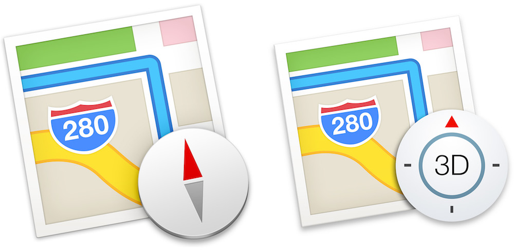
While it sounds like Apple could be developing its own version of Street View, the company may just be improving upon their flyover feature, according to Business Insider. Flyover offers a “…3D version of well-known buildings, such as Parliament in London or the Empire State Building in New York, rather than creating its own Street View competitor.”
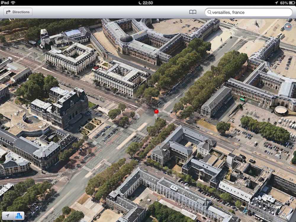
The Apple Flyover feature is a 3D mode that gives detailed images of locations onto topographical and structural data. Users can zoom in on buildings and receive an accurate portrayal of what they look like. This also includes hills and other landmarks. More countries and locations are added frequently. Locations in Japan, France, and Spain were added back in September. It’s not quite the same as Street View, since one can only see what buildings look like in aerial shots.
Having the option to view a street online is wonderful when planning a route. It adds a bit of familiarity when one is driving, and can make trips to unfamiliar places so much less stressful.
Learn More: Google Paid Apple an Insane Amount of Money to Be the Default iPhone Search Engine
[The information provided in this article has NOT been confirmed by Apple and may be speculation. Provided details may not be factual. Take all rumors, tech or otherwise, with a grain of salt.]