Ocean Beach Plane Crash Spotted on Snapchat, But It’s Not What You Think
 Credit: iDrop News
Toggle Dark Mode
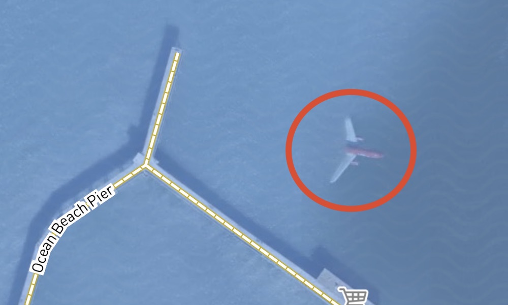
Social media users on Twitter, Tik Tok, and Instagram are seemingly freaking out over what appears to be an underwater airplane near the pier in Ocean Beach, a coastal neighborhood located in San Diego County. But it’s not exactly what it appears to be.
While disturbing and shocking at first, the image of the “submerged” plane is basically a common error in satellite imagery.
- Sattelite images are taken from above and stitched together to create an aerial view map.
- The satellite image from the rear of the plane shows a clear view of the Pacific Ocean, while the second photo caught the plane in flight.
- After the two images were pieced together, it appeared that half of the plane was submerged, when in reality, it was flying its expected course.
Based on its direction, the plane is clearly arriving at San Diego’s international airport, which is located just a few miles away from the supposed crash site. This adds further credibility to the satellite image error theory (not to mention there haven’t been any plane crashes reported near Ocean Beach in recent history).
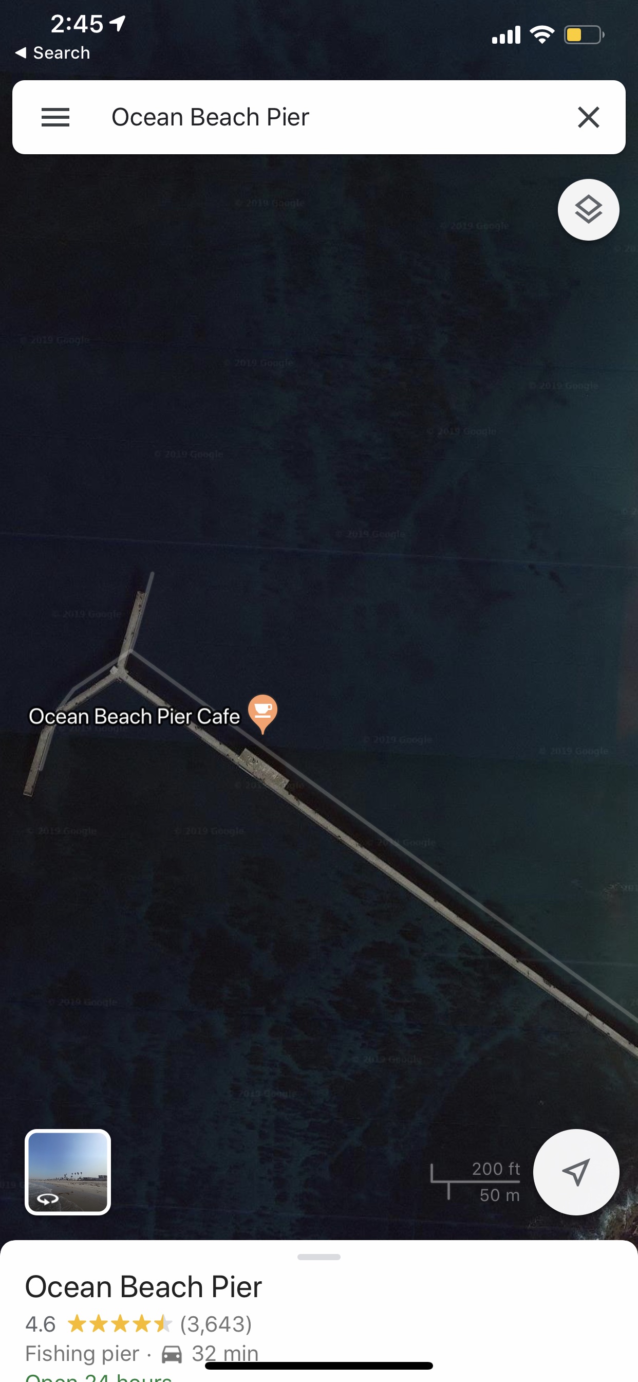
A cross-check of Google Maps’ satellite images show no such plane, as most of these types errors and imperfections are edited and removed before being used.


