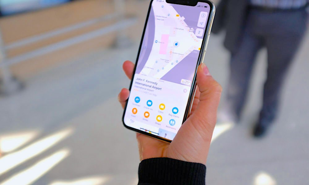
Apple Maps Now Features Indoor Maps of 30+ Airports
 Credit: TechCrunch
Toggle Dark Mode
There’s nothing better than getting on a plane and going on holiday, but airports are big places with lots of people running about – so it’s easy to get lost when you don’t know your away around. And if you continue to struggle to navigate the airport, you could end up missing your flight.
Apple is here to save the day, though. The tech giant has expanded its popular indoor airport mapping feature for its Map app, and you can get the update now.
The company has added maps for 30 airports across the globe, including John F. Kennedy (JFK) in New york, Los Angeles International LAX airport, Heathrow in London and LaGuardia.
As TechCrunch reports, these maps are now available in the Apple Maps app, and they’re aimed at helping you navigate around some of the world’s busiest airports.
With the maps, you can better prepare for your journey ahead. You’re able to see where important facilities are located, including airport gates, check-in desks, security checkpoints, shops, restaurants, lounges and bathrooms.
They’re presented in an interactive layout, and you can also access a 3D view of each airport. While it may not be as Google’s Street View, the feature will give you an insight into what the airport actually looks like.
At the end of the day, it’s easy to turn up to an airport and become overwhelmed, but Apple’s latest update solves this. And if you still struggle to get around an airport, you can call on the power of Siri. If you ask Apple’s personal assistant to help you find certain places in each airport, it’ll provide you with a list of comprehensive instructions – just like a satnav.
Although these indoor airport apps are far from new, they’re constantly getting more immersive. And, in the past, Apple has tended to stick to American airports. As well as London’s Heathrow, there are also maps for Hong Kong International (HKG), Berlin and Amsterdam. There are lots of other airports featured too, and you can view them here.


